Fields
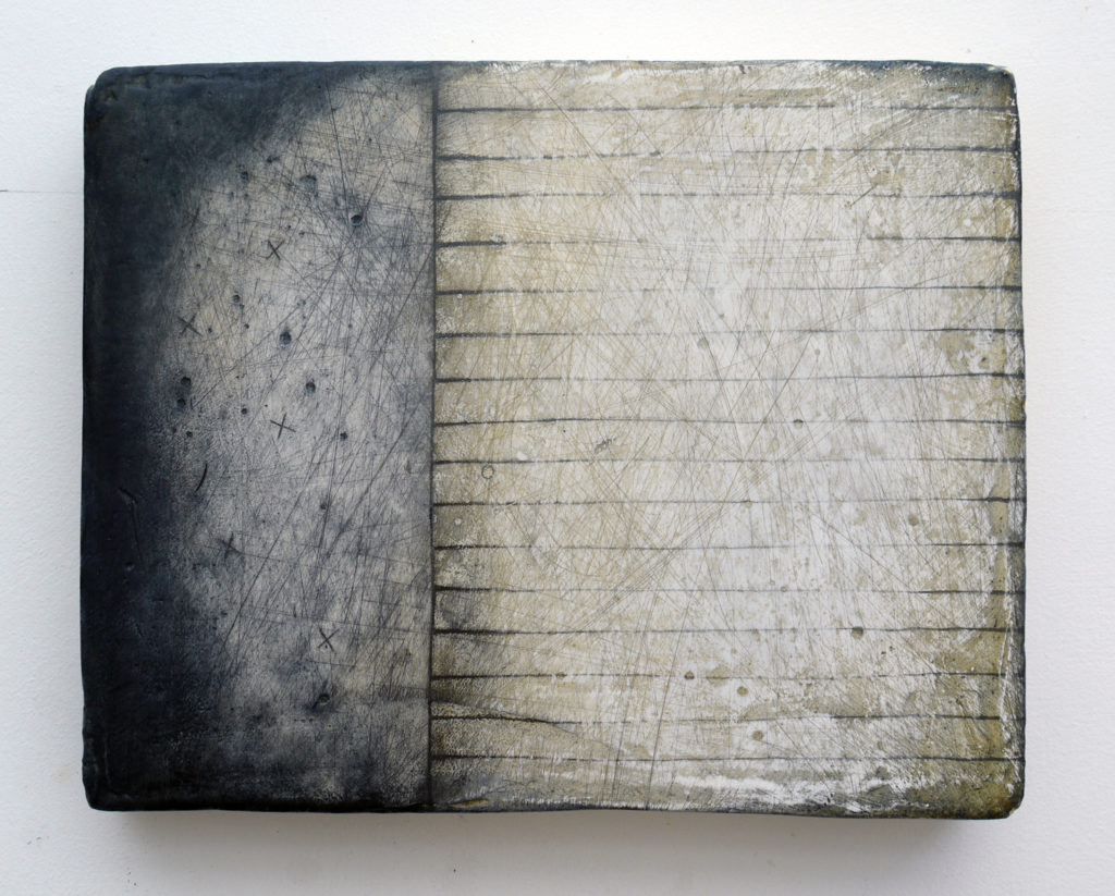
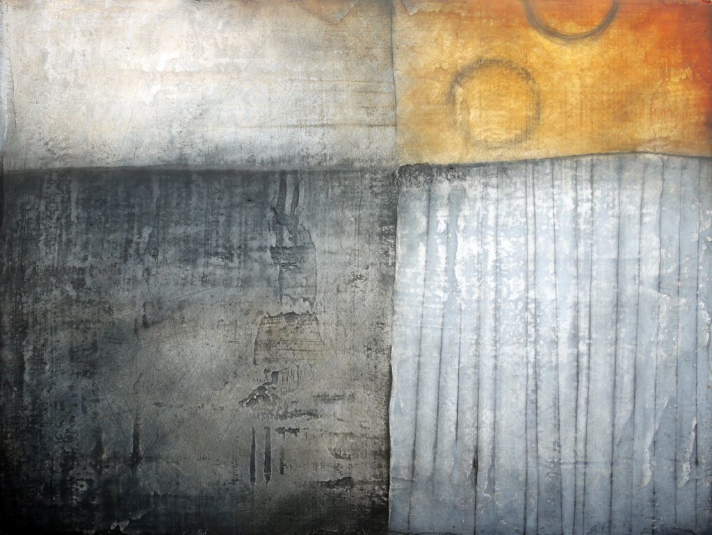
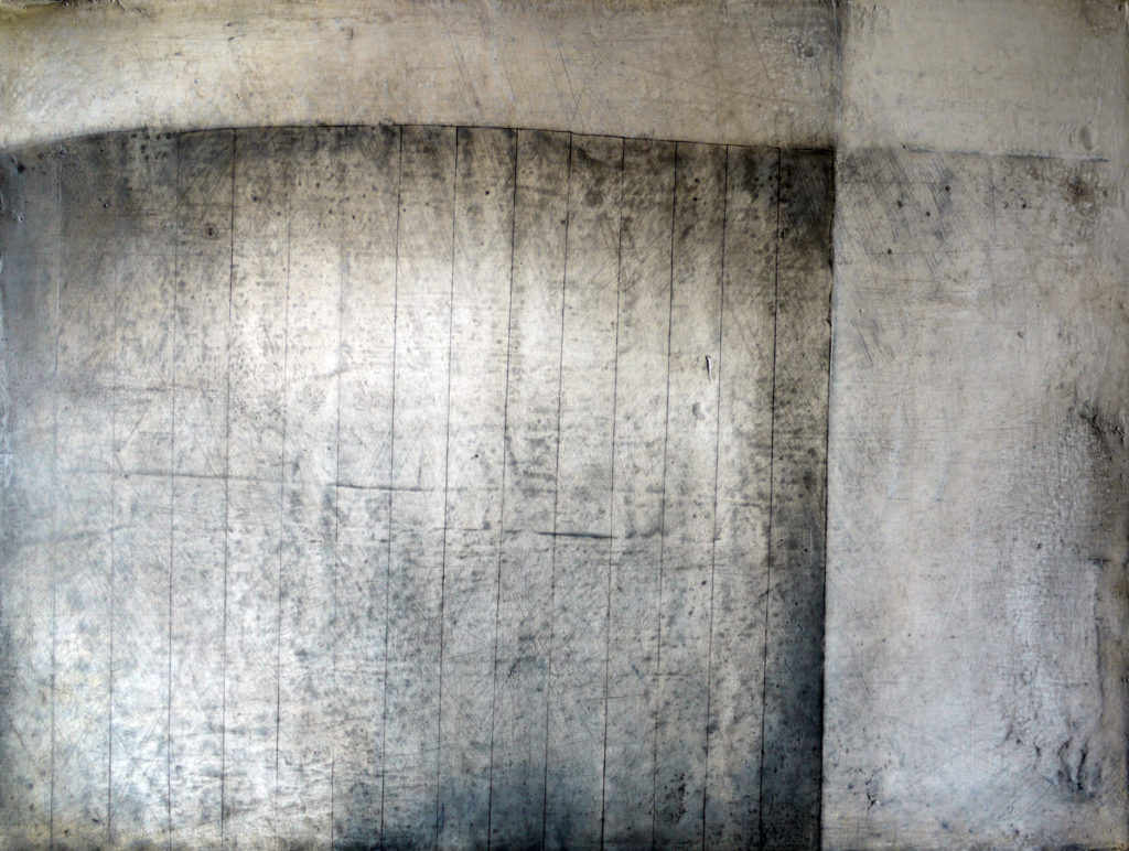
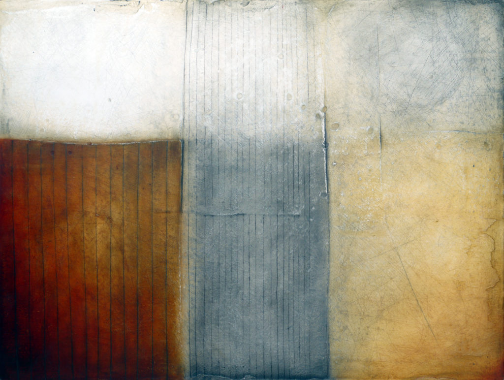
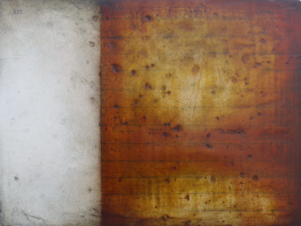
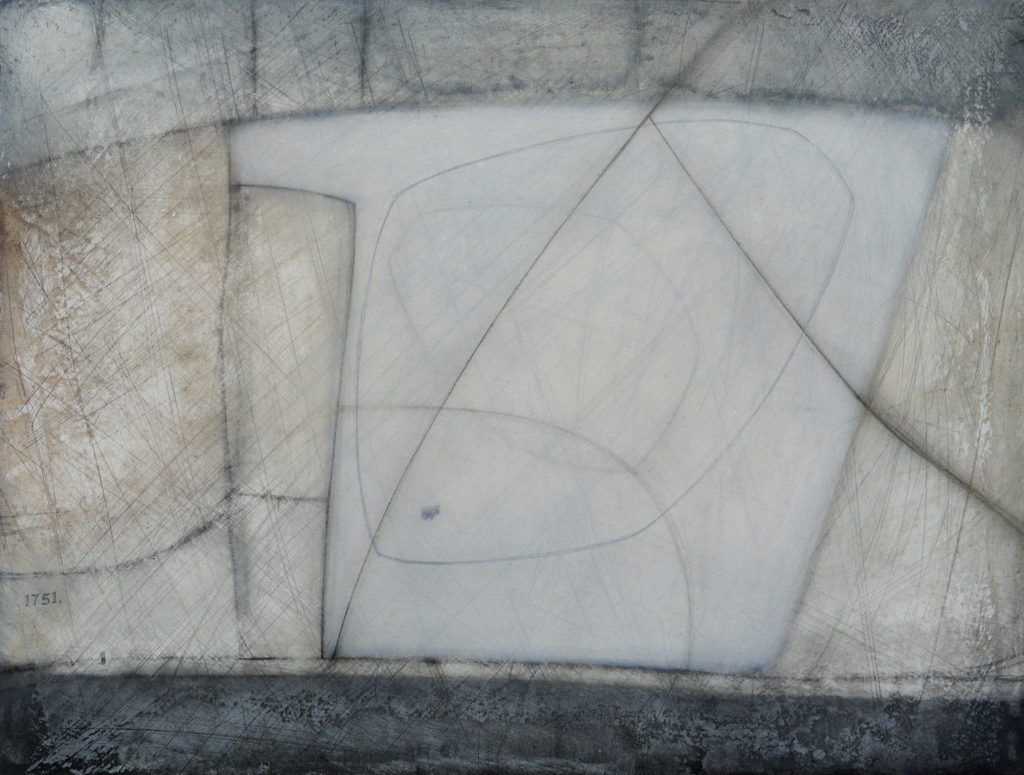
Field Map: Oil, graphite and plaster on board
Much of my work is based on an aerial, or plan view of the landscape, focussing on what can be seen from above that is not discernible at ground level. Like viewing maps, the patterns of settlements, tracks and field boundaries become clues to understanding how we have responded to the physical aspects of our environment over time. My recent work for Dorset AONB on the South Dorset Ridgeway maps and Field Guide intensified an interest in fields and their boundaries. The following series of works explore and celebrate the fields of Dorset and Cornwall.
Lost Fields – Portland
Fifty Fields
Fields of Zennor
Field Maps
Lost Fields
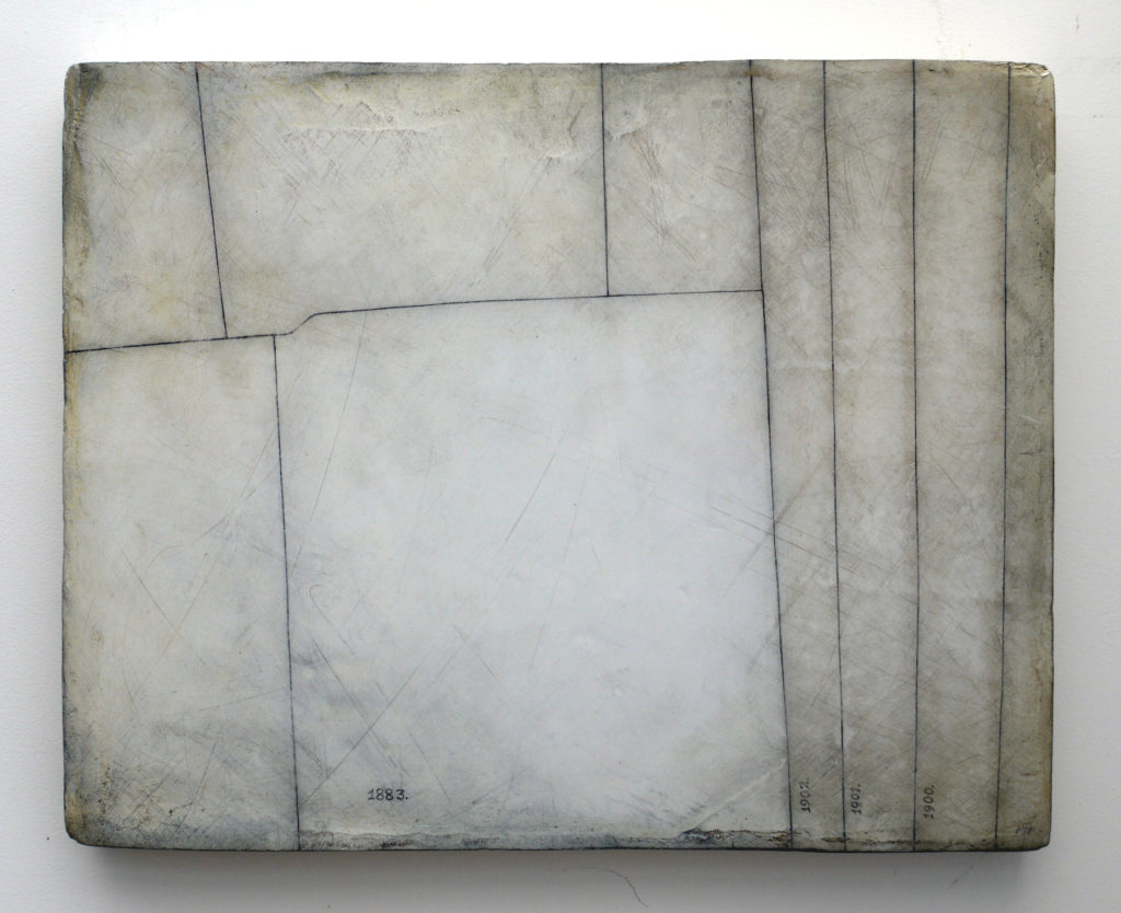
Lost Field 1883. is the first in a series of work about the Isle of Portland, Dorset. This piece references the island tithe map apportionments of 1841. Plot 1883, referred to as Jeffrey’s Close, no longer exists – the land having been quarried away and the stone probably now part of some fine building. Not long after finishing this work I came across a reference to the field in a pamphlet of Portland Ramblings in Verse, Tale, Poem and Folklore by Bob Wollage, reminiscing about the Portland of his youth and describing the rapid advancement of quarrying by mechanical means. “But how much quicker the earth is torn and distorted. It wont be long before they will be digging up ‘Jeffery’s Close’ and that will be another bit of old Portland gone forever.”
Fifty Fields
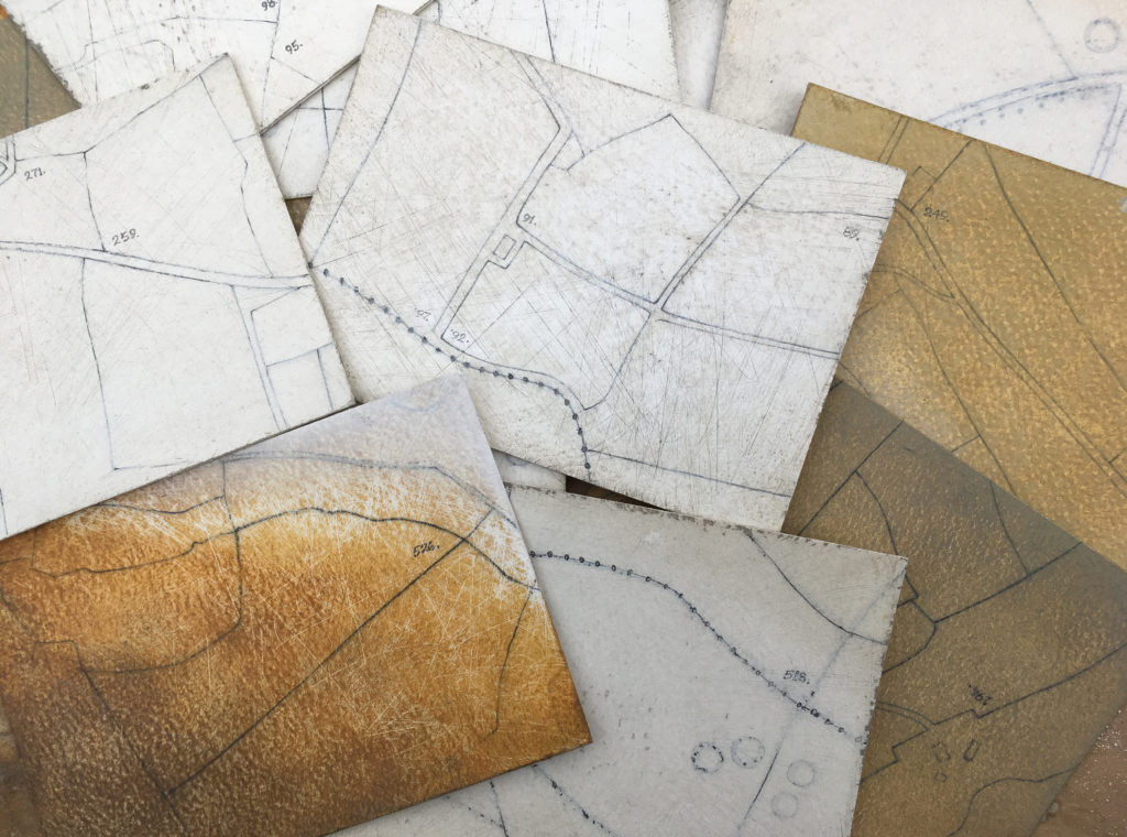
Fifty Fields is a project i set myself after completing the South Dorset Ridgeway maps and Field Guide. I have produced 50 small paintings based on particular fields in the area. Each one is the size of a postcard (10.5 x 15cm) and available for sale at £50 each.
Fields of Zennor
A series of work bout the field patterns around Zennor and the moorland of West Penwith.
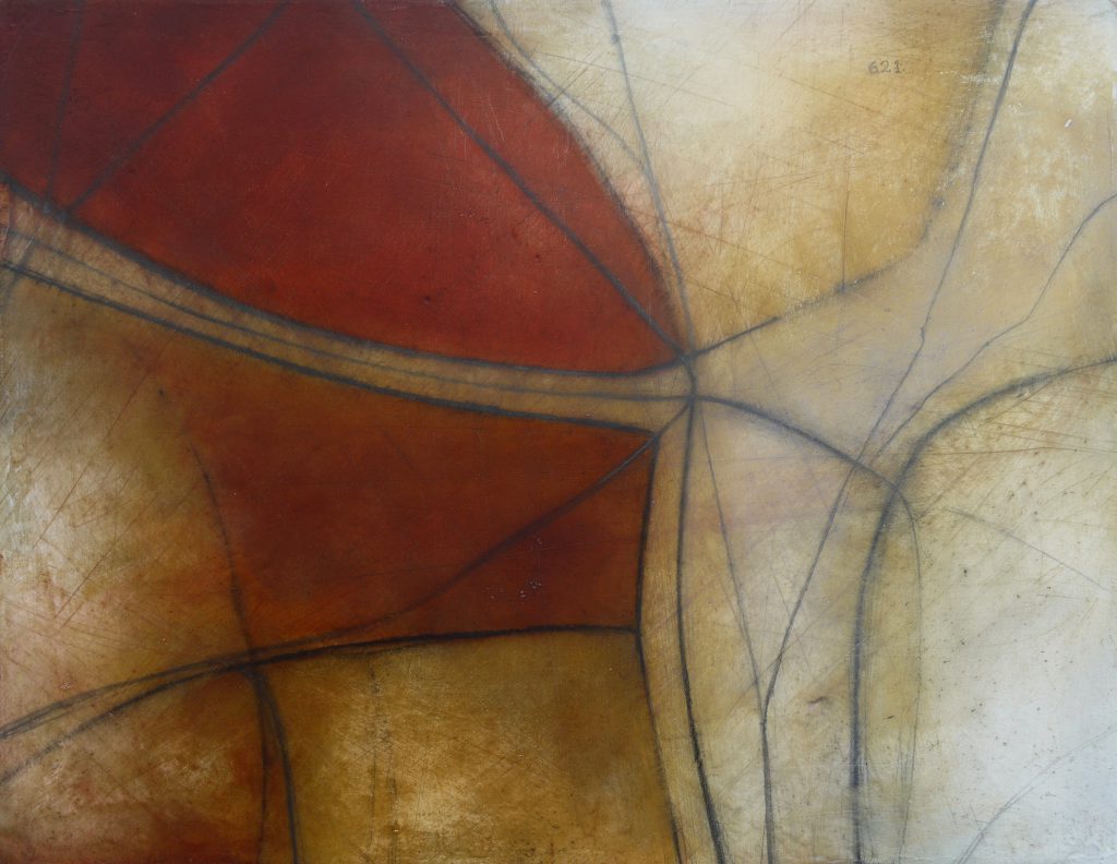
Field Map series
